Bimini Snorkeling
Navigation Guide

Bimini Snorkeling Map

Bimini's snorkeling sites scatter across shallow reefs, limestone formations, and shipwreck zones in waters accessible from both North and South Bimini. This guide maps the key zones, entry points, and the topography that connects them.

7 min read Updated 2026-09-30 Fact-checked
Bimini Snorkeling Map

Quick answer

A Bimini snorkeling map guide divides the island's sites into four main zones: the shallow western flats near Radio Beach and Bonefish Creek, the eastern reef shelf running from Bailey Town to South Bimini, the SS Sapona wreck site off South Bimini's eastern shore, and the Victory Reef system southwest of Alice Town. Entry to public beaches and shoreline waters is free; boat-based sites require tour operator fees. Optimal visibility occurs between 08:00 and 11:00 before afternoon winds reduce water clarity.

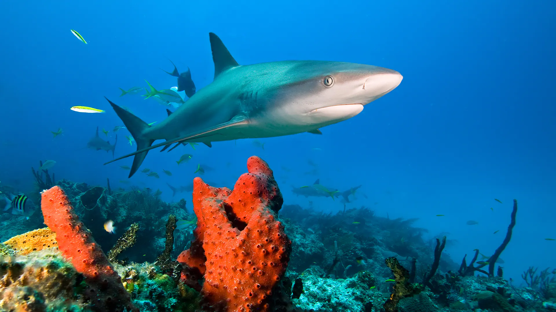
Bimini's underwater geography divides into distinct zones shaped by tidal channels, limestone ledges, and reef formations that run parallel to both islands. The western coastline facing the Gulf Stream features shallow grass flats and patch reefs in three to eight feet of water, accessible from shore at Radio Beach and Bonefish Creek. The eastern Atlantic side drops into deeper reef systems where elkhorn coral, brain coral, and sea fans anchor to limestone substrate between ten and twenty feet. The SS Sapona, a concrete-hulled rum runner that grounded in 1926, marks the most recognizable landmark on any Bimini snorkeling map. The wreck sits in fifteen feet of water approximately a quarter mile offshore from South Bimini's eastern coast, visible from land during low tide. Its fractured hull sections create channels where nurse sharks, sergeant majors, and yellowtail snapper congregate. Victory Reef lies farther offshore southwest of Alice Town, requiring boat access to reach the coral heads and sand channels that stretch across a half-mile span. Navigation between sites depends on water transport, as no continuous swim corridor links the major zones. North Bimini's eastern shore presents calm entry points near Bailey Town when winds blow from the west, while South Bimini's Atlantic side requires attention to current direction and swell height. The shallow western flats remain diveable across most tidal cycles, though spring tides expose some coral heads entirely. Current flows north-to-south along the western shore and south-to-north on the eastern reef shelf, strongest during tidal transitions. Local operators mark GPS coordinates for offshore sites, but the Sapona wreck and nearshore reefs require only basic orientation from visible shoreline features. The islands' compact size means most boat rides last under fifteen minutes from Alice Town harbor. Water temperature holds steady between seventy-eight and eighty-four degrees year-round, eliminating thermal planning from site selection. Visibility ranges from sixty feet on calm mornings to twenty feet after storms stir sediment across the shallow banks.

“The SS Sapona wreck sits in fifteen feet of water approximately a quarter mile offshore from South Bimini's eastern coast, visible from land during low tide.”
Prices

Understanding Entrance Fees for Your Bimini Snorkeling Map

Entrance fees for Bimini snorkeling depend on whether you access the water from public shorelines or utilize marine transport to reach offshore reefs.

Public Beach Access Access to shore snorkeling is free
0 USD
Boat-Based Excursions Tour fees apply for offshore sites
Variable
Public beaches and coastal waters remain free of charge for all visitors.

Verdict: While public beach access is 0 USD, visitors typically pay tour operator fees to access boat-based snorkeling sites.

What to see

Key Locations to Include on Your Bimini Snorkeling Map

The waters surrounding Bimini offer diverse snorkeling environments ranging from shallow reefs to historic wrecks. Familiarizing yourself with these key locations helps in planning your route through the archipelago.

Sapona Shipwreck

Sapona Shipwreck

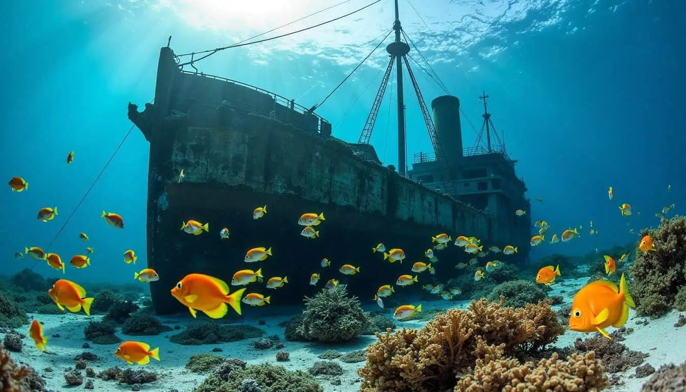
A concrete ship grounded in shallow water, this site serves as an artificial reef home to various tropical fish. The structure is partially submerged, allowing for observation of marine life both inside and around the hull.

Look for schools of fish near the rusted interior walls.
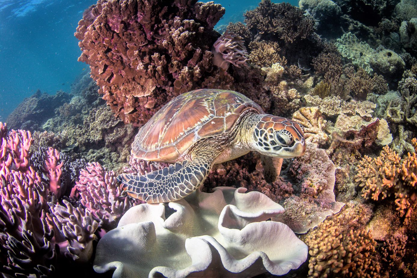
Turtle Rocks

Turtle Rocks

Located south of North Bimini, this chain of rock formations hosts coral growth and frequent sea turtle sightings. The currents here can be active, providing nutrient-rich water that attracts diverse species.

Swim along the outer edge to spot resting sea turtles.

Honeymoon Harbor

Honeymoon Harbor

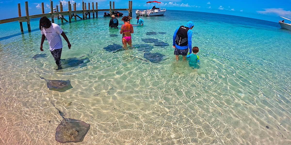
This shallow bay on Gun Cay is known for its accessibility and frequent interactions with southern stingrays. It remains a primary location for observing marine animals in very shallow, sandy-bottomed conditions.

Visit at low tide for the clearest shallow water visibility.

The Atlantis Road

The Atlantis Road

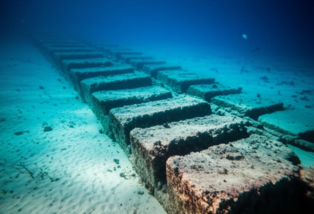
Often referred to as the Bimini Road, these submerged rock formations sit in shallow water off the coast of North Bimini. While its origins are debated, the site provides a distinct underwater topography to explore.

Search for rectangular stone patterns during your snorkel.

Directions

Navigating to Your Bimini Snorkeling Map Coordinates

Most snorkeling sites indicated on the Bimini snorkeling map are located offshore, requiring boat access from the island's marinas. Visitors to Bimini, The Bahamas, typically depart from primary docks in North Bimini or Alice Town to reach reefs and historic wreck sites.

Boat 30–60 min —

Departure from Alice Town Marinas

Boat 15–45 min —

Departure from North Bimini Resorts

On foot 5–10 min —

Local access to shoreline sites

Plan your arrival to the departure point between 08:00–11:00 to ensure optimal visibility and calm water conditions before afternoon winds increase.

Opening hours

Access Schedule for Your Bimini Snorkeling Map Exploration

Public waters and beaches in Bimini are accessible 24 hours a day, allowing for flexible exploration of your snorkeling map. Please note that boat-based logistics and guided site access are subject to the individual schedules of local operators.

Monday
00:00–23:59
Access 24/7
Tuesday
00:00–23:59
Access 24/7
Wednesday
00:00–23:59
Access 24/7
Thursday
00:00–23:59
Access 24/7
Friday
00:00–23:59
Access 24/7
Saturday
00:00–23:59
Access 24/7
Sunday
00:00–23:59
Access 24/7
There is no restricted last-entry time for public coastal access.
Checklist

Preparation Checklist for Your Bimini Snorkeling Map Adventure

Prepare for safe and rewarding snorkeling by securing boat access, verifying equipment, and timing your visit with tide and weather conditions.

Book

Check availability

Frequently asked

Frequently asked questions about the Bimini snorkeling map

Everything you need to know about bimini snorkeling map

Is there an official bimini snorkeling map available for download?

While there is no single official government document, visitors often use a compiled bimini snorkeling map to identify popular sites like the SS Sapona shipwreck and Turtle Rocks. These resources provide a helpful overview of the marine environment surrounding the islands. Many local dive shops and tour operators provide their own version of a bimini snorkeling map to help guests visualize the location of seagrass beds and marine sanctuaries. These visual aids are essential for navigating the shallow banks and deep drop-offs that define the local topography. Access to public beaches and open water is 0 USD, meaning you do not pay for the water itself. However, reaching specific offshore reefs and wrecks marked on a chart typically requires booking a tour, which will include associated service fees. You do not need to pay an entrance fee to the ocean, though boat-based sites require tour fees. Most significant sites, such as the famous reefs, are located further offshore and are best accessed via guided excursions. The boat-based nature of these locations means they are not reachable by swimming from the beach alone. The shore provides access to some coastal areas, but a detailed bimini snorkeling map clarifies which spots require a vessel for safe entry. Shore access is limited, and visitors should prioritize boat tours for the best experience. The optimal arrival window for these activities is 08:00–11:00 to ensure calm water conditions before afternoon winds. Following this schedule helps maximize visibility for viewing sea turtles, rays, and tropical fish during your excursion.

Keep reading

More guides & pages